The world’s unevenly warming climate is causing unforeseen changes to weather patterns across swathes of the planet, with new research indicating a warming Arctic Ocean can result in heavier snowfall further south.
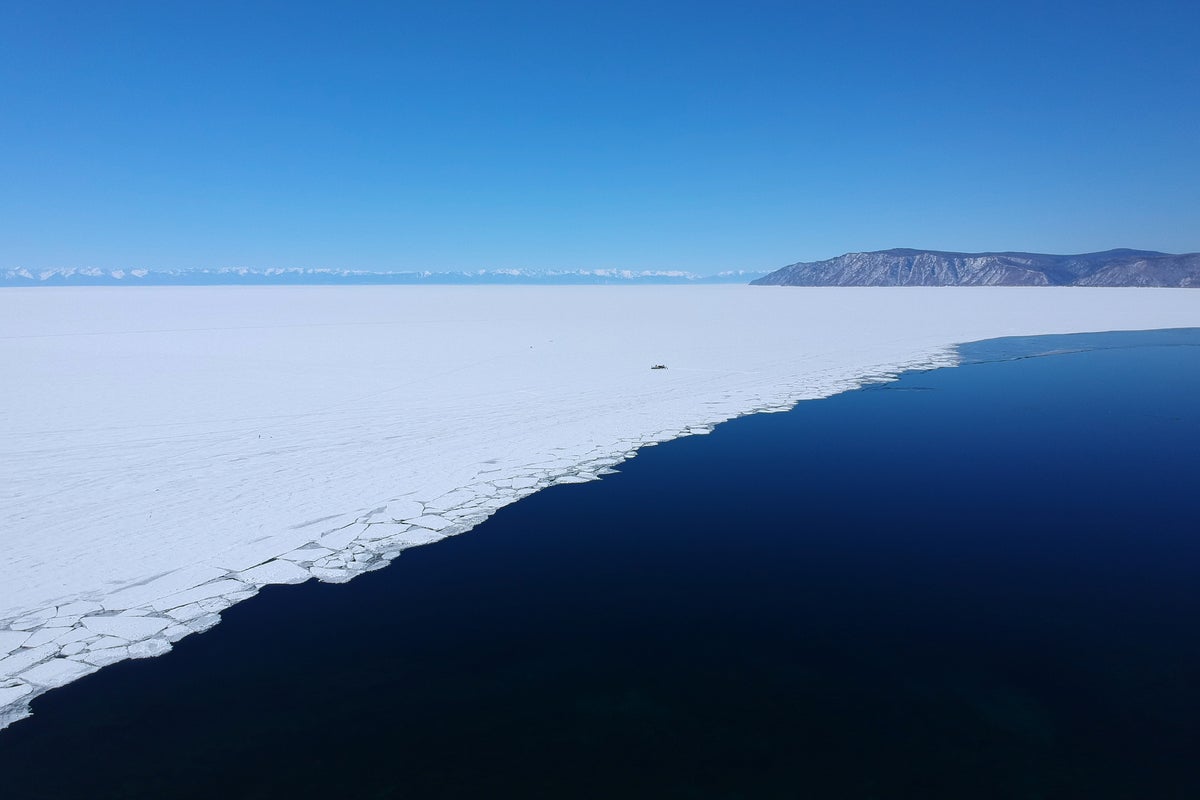
The Arctic is warming four times faster than the rest of the globe, with rising temperatures melting more of the reflective sea ice each year, exposing more dark, heat-absorbing water.
A new climate model indicates that heightened levels of water evaporating from the Arctic Ocean can lead to increased snowfall in northern Europe and Asia in late autumn and early winter.
According to the research team at Hokkaido University in Japan, rising global temperatures, which increase the atmosphere’s capacity for holding water, allows more moisture from the Arctic to be transported south, increasing the quantity and likelihood of rain and snow.
The team said that understanding exactly where the moisture in the atmosphere has come from and how it moves south is essential for making better predictions of extreme weather events and how the climate will continue to change in the future.
To carry out the research, the scientists used an existing computer modelling technique which allows them to track where hypothetical chunks of atmospheric moisture form, how they are moved around, and where they precipitate due to the local climatic conditions.
However, they had previously proved unreliable over large distances and had not been able to satisfyingly explain the snowfall in northern Eurasia, the team said.
So they conducted a “painstaking re-analysis” of world-wide historical weather data over the span of the past 55 years. They said this material allowed them to keep their model calibrated over much longer distances than hitherto possible.
The results showed that water evaporation from the Arctic Ocean has increased over the past four decades, with the biggest changes occurring in the Barents and Kara Seas north of western Siberia, as well as over the Chukchi and East Siberian Seas north of eastern Siberia, between October and December.
At this time of year, the Arctic Ocean is still warm and the area not covered by ice is still large.
“Importantly, this development coincides with the area where sea ice retreat has been strongest over the time frame of the study,” the authors said.
Tomonori Sato, environmental scientist at Hokkaido University, who led the study, told The Independent: “Our study is the first time to show this effect has occurred in reality over the past decades”.
He said the northern hemisphere’s snow variation “is determined by a combination of multiple processes”.
“The contribution of the Arctic Ocean warming, which we studied, is one factor, but other effects such as atmospheric circulations and ocean currents in the Atlantic Ocean also play an important role for snow in European countries.
“The Siberian region as suggested by our study is believed to be under a stronger influence of the Arctic Ocean.”
Asked if the effect could grow stronger as the planet continues to heat up, Dr Sato said: “We might experience both warm and cold winters in the present decades until the warming effects become more substantial.
“It is possible that more snowfall and intense snow events will occur in some areas in Europe.
But he added: “Over the longer term – such as later this century, the snow is going to decrease and the snow season is projected to be shortened as warming continues.”
The research is published in the journal npj Climate and Atmospheric Science.
Source link
